About the Farm Action Toolkit
SERVIR's Farm Action Toolkit was co-developed alongside several implementing partners in Bhutan to support their mission to secure adequate food for the Kingdom and save operational costs while doing it. This service provides 30-meter scale cropland, paddy, and maize area maps and paddy yield estimations covering mountainous and marginal farmlands across Bhutan for all years from 2002 to 2023.
Core Functionalities
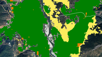
Area Crop Mapping
Provides detailed maps of cropland, paddy, and maize area in Bhutan.
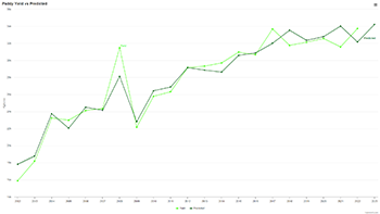
Paddy Yield Estimation
Estimates annual paddy yield at various scales for informed decision-making.
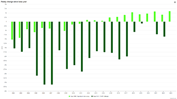
Historical Data Analysis
Enables analysis of changes in paddy fields and yield over past years.
Benefits & Impact
The Farm Action Toolkit offers valuable benefits for Bhutan's food security efforts, including:
- Understanding changes in paddy area and yield over time.
- Analyzing the impact of policy changes on food security.
- Guiding decision-makers towards sustainable agricultural practices.
Target Users
This toolkit is designed to empower various stakeholders, including:
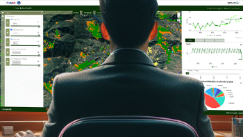
Government Organizations
Utilize the toolkit for informed policy decisions and resource allocation.
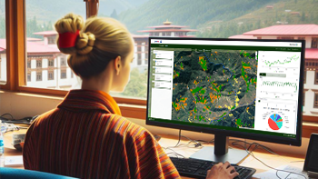
Researchers & Academics
Gain insights into Bhutan's agricultural trends for further research.
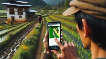
Farmers
Access relevant data to optimize crop management practices.
Team Members

Aparna Phalke

Sarah Cox

Billy Ashmall

Alex Goberna
Mission Statement
SERVIR’s Bhutan Farm Action Toolkit is dedicated to advancing crop yield monitoring in Bhutan using NASA earth observations. Developed in response to locally-identified needs, the project aims to support local partners in using geospatial modeling methods with artificial intelligence (AI) and machine learning (ML) to produce consistent, timely and reliable estimates of crop area and yield at field to national scale. The ultimate goal of this work is to inform regional management decisions regarding food security and climate resilient sustainable livelihood...
Farm Action is brought to you by SERVIR and leading geospatial organizations in Asia, Africa, and Latin America, SERVIR partners with countries and organizations to address critical challenges in climate change, food and water security, water-related disasters, land use, and air quality.
For more information on the SERVIR program, visit https://servirglobal.net
Disclaimer
SERVIR Program and SERVIR partner organizations make no express or implied warranty of this application as to the merchantability or fitness for any particular purpose. Neither the US Government nor its contractors shall be liable for special, consequential or incidental damages attributed to this application.

